Ureterp
Ureterp (Oerterp) is one of the older farming settlements on the higher sandy ridges north of the small river It Alddjip (Koningsdiep). The village lies a few kilometers southeast of Drachten, on the road from Beetsterzwaag to Siegerswoude.
Due to its location near the cloverleaf of the A7 (Heerenveen - Groningen) and N31 (Leeuwarden - Oosterwolde) freeways, Ureterp is easily accessible from all directions. Despite the proximity of Drachten as a nurturing core, Ureterp has a nurturing function for the surrounding villages(Frieschepalen, Siegerswoude and Wijnjewoude).
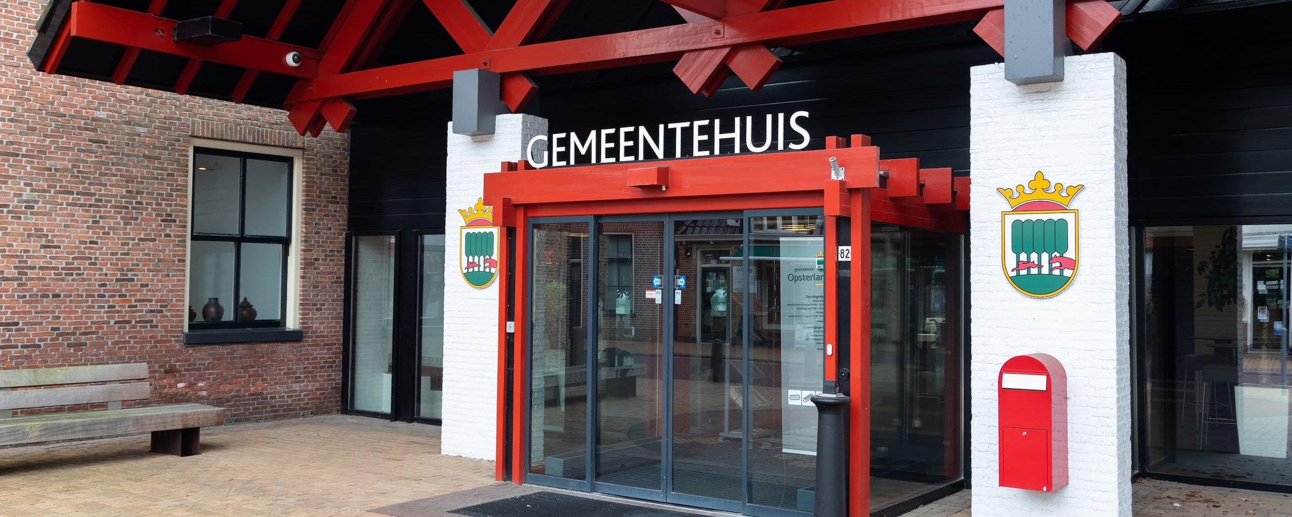
The second largest village in Opsterland
Ureterp is the second largest village in the municipality of Opsterland after Gorredijk. Many people live here because of its convenient location. It is a so-called road or regional village, which owes its elongated shape to its location on a sand ridge. Unlike other road villages, Ureterp was therefore not created by peat extraction. The sand ridge lies between the original Drait and the small river It Alddjip, and this is where the first inhabitants settled more than a thousand years ago.
The meaning of the name Ureterp
The name Ureterp has a clear meaning. The word "Oer" means "above" and "terp" in this case stands for "village." Indeed, Ureterp is located upstream of It Alddjip. So the village has a name that fits the landscape in which it is located.
Archaeological finds in Ureterp
Ureterp is nationally known to archaeologists because of unusual finds. In 1943 remains of reindeer hunters were found near the Prinsendobbe on the Mounleane. These came from the end of the Old Stone Age, around 10,000 to 9,800 B.C., just after the last ice age. These reindeer hunters belong to the Hamburg culture, a group of people whose traces have also been found in the Hamburg area. Hence the name.
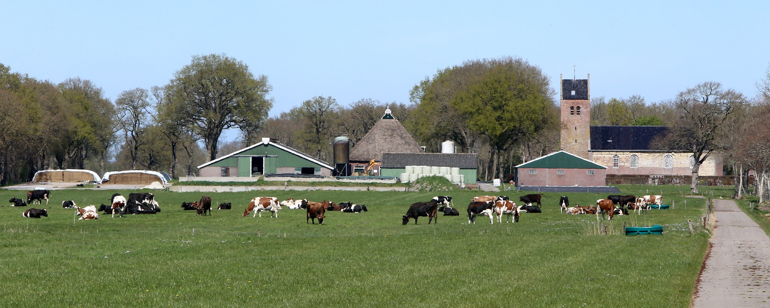
A village with a historic village center
The village center of Ureterp is remarkably varied thanks to the substantially grown village center on both sides of the Weibuorren. The highlight and centerpiece is the old village church on Selmien. This church dates from the late Middle Ages and is built with large yellow bricks on the south side. The tower has a gabled roof. The church comes from the 13th century. Next to the church there has been a double belfry since 1766, which was renewed several times in later years. The bells in the belfry are from 1948.