Frieschepalen
Frieschepalen (Fryske Peallen) lies against the border with the province of Groningen and next to the villages of Siegerswoude and Ureterp. Frieschepalen originated in the 18th century as a reclamation village in the raised bog area. The village is located on the A7 national highway from Heerenveen to Groningen.
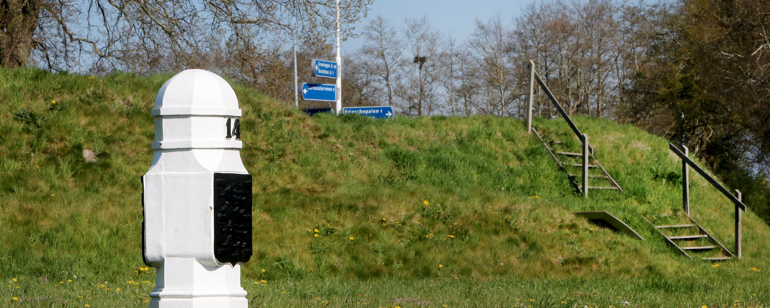
The posts in the village name refer to the boundary posts along the border with Groningen. Frieschepalen was not named an independent village until 1953. Before then, Frieschepalen was part of Siegerswoude.

History
From about 1660, the Grote Veenvaart to Bakkeveen was dug to exploit the peat bogs in northeastern Opsterland. At Frieschepalen, this canal with a leave and drawbridge made a bend to the southeast. A few houses and an inn stood there. The canal has been filled in and now the Tolheksleane is the main artery of the village, an avenue with beautiful oaks and buildings of mostly detached houses, a few farms and a small church with roof trumpet from 1928.
At Frieschepalen, the remains of an entrenchment can also be found in the landscape. At the beginning of the Eighty Years' War, the peace of Friesland had to be defended using entrenchments at strategic locations. At the end of the 16th century, one was also raised near present-day Frieschepalen. The entrenchment was left to its fate, made up again in 1672 and then ruined.
