Terwispel
Terwispel is located in the west of the municipality of Opsterland, near Gorredijk, Opsterland's largest nucleus. Terwispel is one of the older settlements of the municipality and used to be a farming village.
Two types of landscapes
Terwispel lies exactly between two types of landscapes. On the west side there is an open landscape, while on the east side lies the so-called coulisse landscape. This is an area with many meadows surrounded by trees. The village is a mix of a road village (built along a road) and a water region village (built along a watercourse). The village grew around the road 'De Streek' and the canal 'De Nieuwe Vaart'.
Named after water
Near Terwispel flows It Alddjip (also called Koningsdiep). This water had several tributaries, including the Wispel. The village of Terwispel owes its name to this tributary.
A large but poor village
A few centuries ago, Terwispel was a large village in terms of area. Together with the village of Beets, it was called the "hay barn of Opsterland. In 1664, the current Bûtewei was even called the "Wispeler Hooywech." Terwispel was a very expansive village between Gorredijk, Langezwaag, Oldeboorn and Nij Beets. Yet the village was sparsely populated and the people were not rich.
In the 19th century Terwispel grew faster due to peat extraction. This created new hamlets such as Venebuurt, Kolderveen and Tijnje. The struggle against water also played a major role in the history of the village. In the 15th century, for example, the inhabitants dug the Wispelder Walle. This was a kind of dike to protect the village from floods of the Ie and the Wispel.
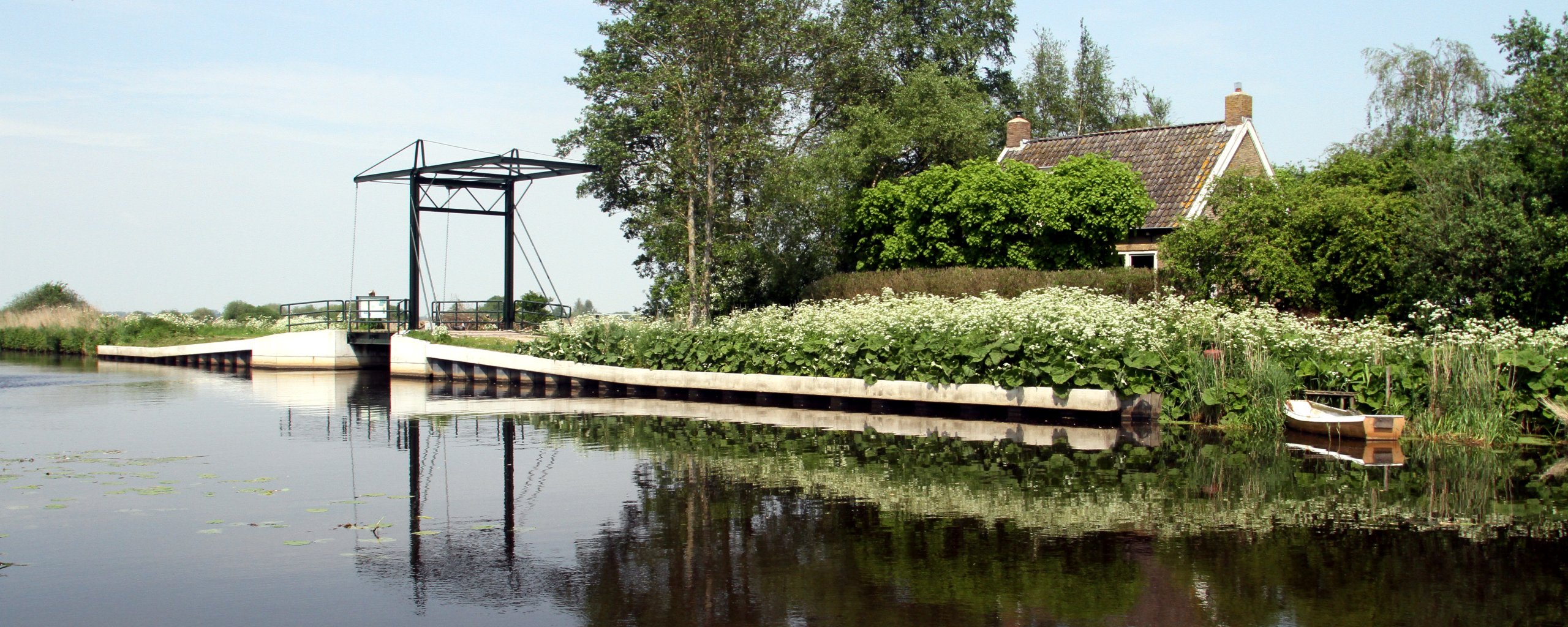
The New Vaart and the Spaltenbrêge
In 1852, the Nieuwe Vaart was dug. This canal divided Terwispel into two parts. The bridge connecting the two parts was therefore called the Spaltenbrêge (split bridge). A cooperative dairy factory was also built near the bridge. Today, the Nieuwe Vaart is part of the Turfroute, a recreational sailing route through Opsterland and southeast Friesland.