1851: Municipality of Opsterland divided in two
There have been several municipal redivisions in the Netherlands. This history goes back to the beginning of the nineteenth century. In 1851, there were 1209 municipalities in the Netherlands. By 2023, this had been reduced to 342. Especially since 1970, many redivisions have been carried out.

Contour
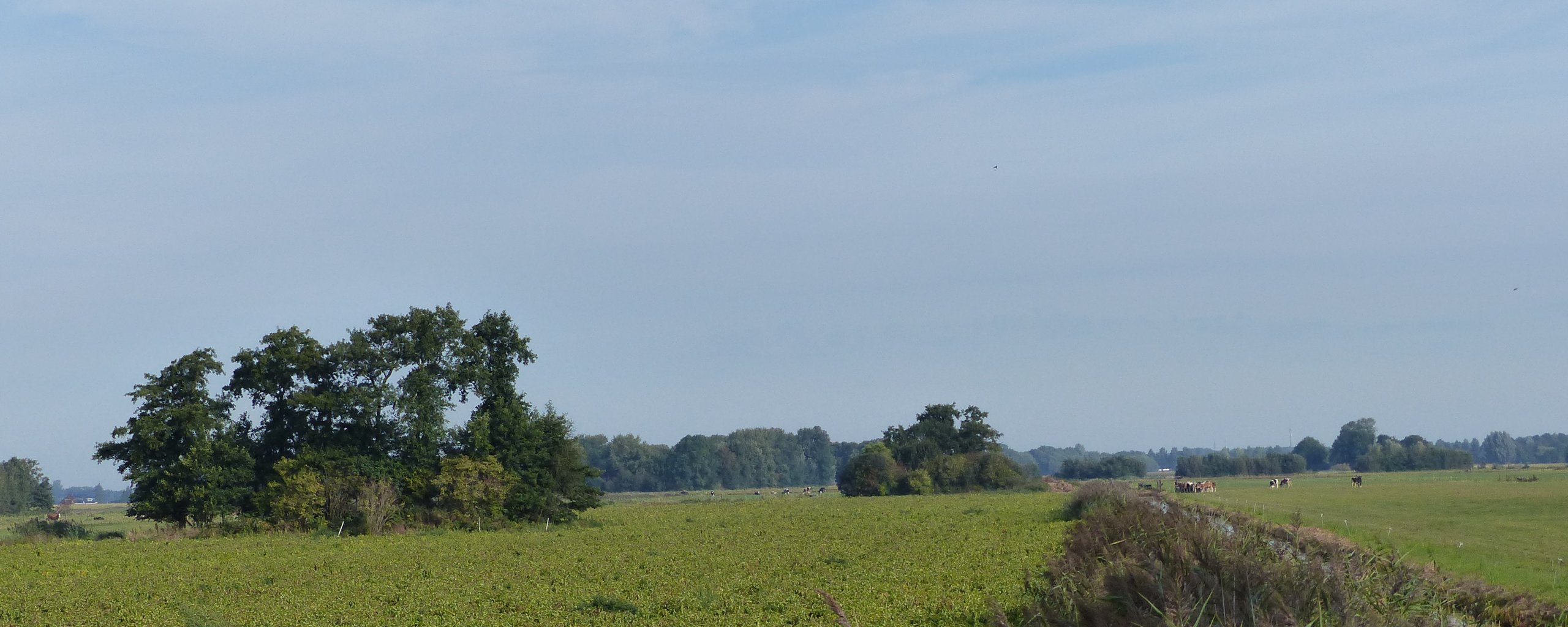
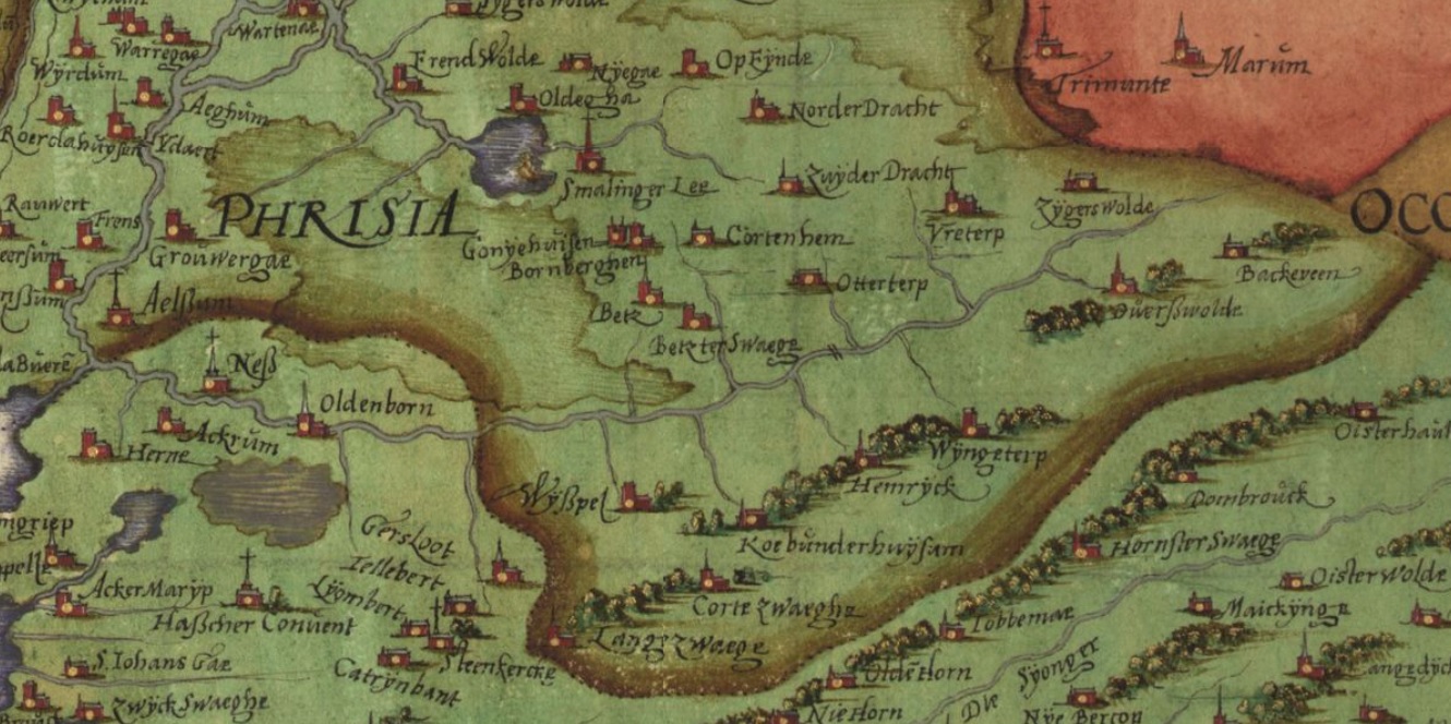
The name Opsterland first appears in 1395 and was spelled Upsateraland. It has a total area of 227.68 km². Many of the villages in Opsterland are already mentioned in a list from 1315, which lists chapels. Every village that owned a chapel was mentioned therein. What is special about Opsterland is, that its municipal boundaries have been the same for centuries. On old Maps, for example from 1718 by Schotanus-Halma, we already see the contour that is the same as today. Back then, a municipality was still called a grietenij. From the beginning of the sixteenth century until 1851, there were 30 grietenijen in Fryslân, housed in the former gouwen Oostergo, Westergo and Zevenwouden. The grietenij Opsterland fell under Zevenwouden, along with the grietenijen Aengwirden, Doniawerstal, Gaasterland, Haskerland, Lemsterland, Ooststellingwerf, Schoterland, Uteingeradeel and Weststellingwerf. Some of these have since merged. On May 1, 1798, the term municipality was introduced as a constitutional concept in the Netherlands (Staatsregeling voor het Bataafsche Volk).
Design
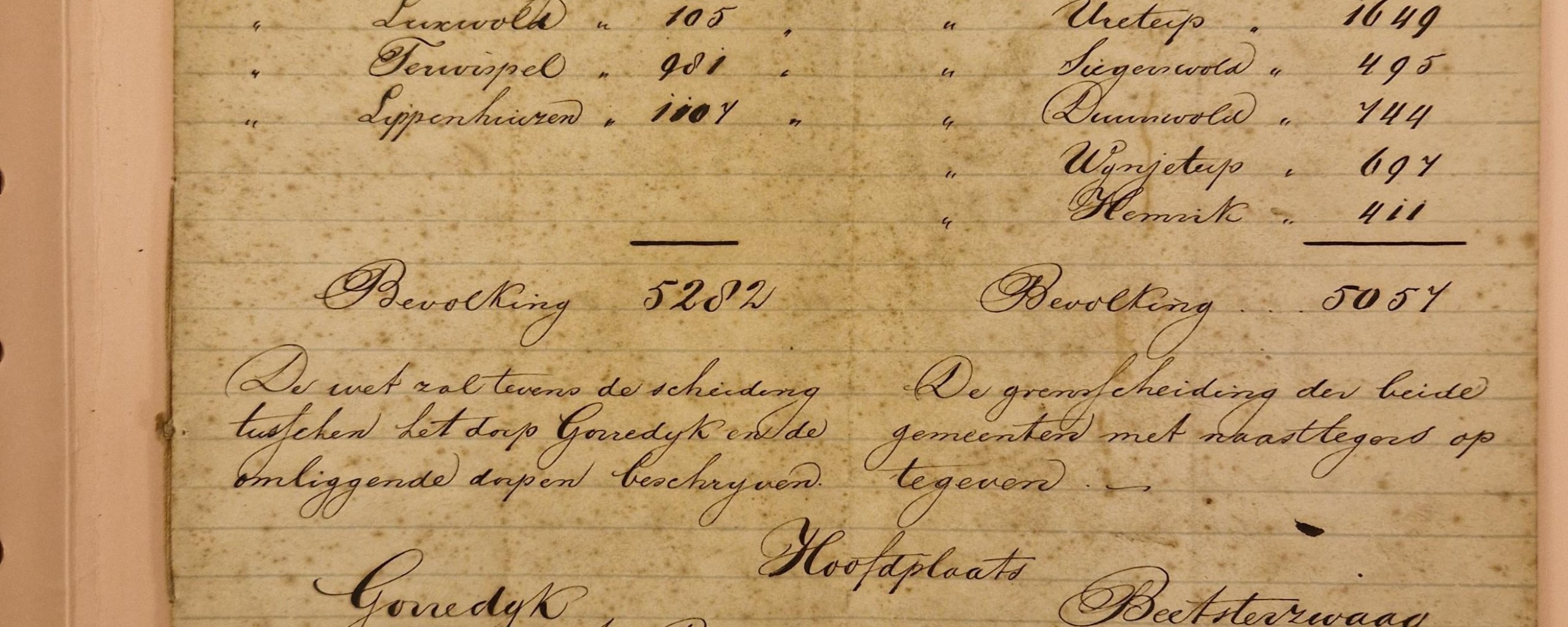
In 1851, the municipal law established a minimum of 25 eligible voters per municipality as a requirement, which at that time was only tax-paying men. There were then 10,440 inhabitants in Opsterland. In this year a possible split of the municipality of Opsterland was also considered. Although we do not know the exact boundary determination, there was a desire to divide the municipality into two parts: western Opsterland would include Gorredijk, Langezwaag, Kortezwaag, Luxwolde, Terwispel and Lippenhuizen (Nij Beets and Tijnje did not yet exist) with a total of 5282 inhabitants and as its main town Gorredijk. Eastern Opsterland would then include Beets, Beetsterzwaag, Olterterp, Ureterp, Siegerswoude, Duurswoude. Wijnjeterp and Hemrik with a total of 5057 inhabitants with Beetsterzwaag as its main town. Remarkably, Bakkeveen was not mentioned. Moreover, the document, which ultimately remained a draft, set out some Requirements .
Setting boundaries
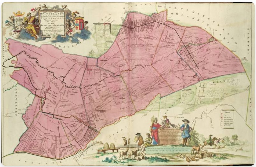
The boundaries of a municipality or other unit were often not very sharply defined. Border disputes were common in recent centuries. Yet the border of Opsterland remained virtually the same. That did not mean that there were no disputes. One of the oldest disputes occurred in 1508 between Bakkeveen and the Drenthe village of Een. The inhabitants of Een declared that the still existing and on the Frisian-Drentish border located Landweer was the "marckscheijdinge" between Een and Opsterland. The earthen fortification wall lay across the sandy ridge and closed off the old country road to Drenthe and the city of Groningen. Remnants of this road are still visible 200 meters west of the rampart as a hollow road on the heath of Allardsoog. But also within the municipality disputes regularly occurred about where a boundary lay on a plot of land, as the attached Map from 1763 shows. Whether at the local level or over larger areas, disputes over boundaries continue to play an important role today.
Image gallery